
One of the pleasures I get from being involved in the underground exploration of old mine workings is discovering that there is often just as much on the surface to discover as there is below ground. I have taken an interest in industrial archaeology for as long as I have been going underground – indeed it is the reason I first started to do so – and as a result I have learned a lot about more than just old mines, but also discovered fascinating stories of local transport, geology, social history and economics. If I had started today, I would certainly have used new technology to help in my explorations.
So it is good news to learn that the Yorkshire Dales National Park Authority has launched a new free phone app to encourage the public to explore and discover the mining landscape of the National Park.
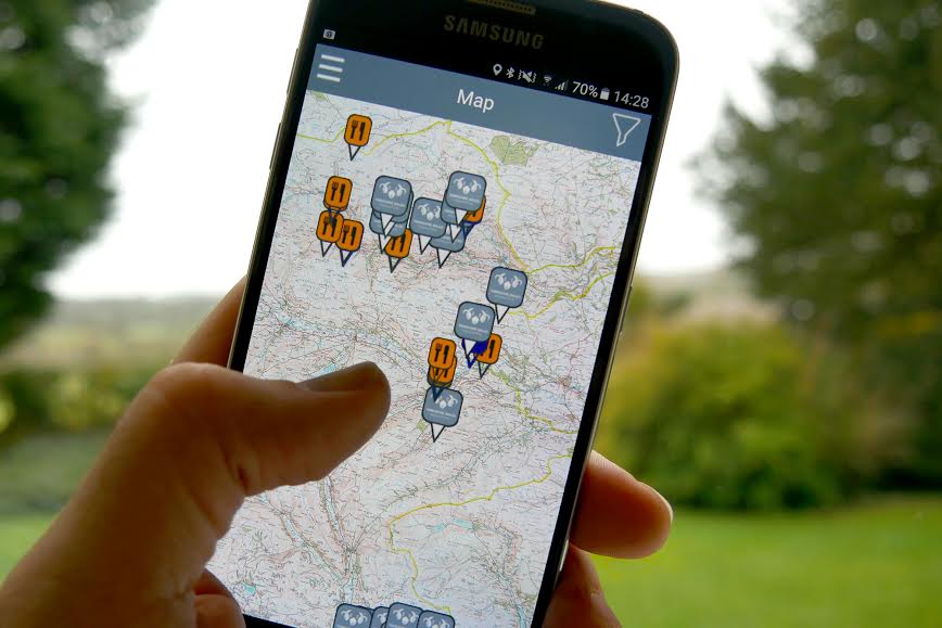
The new app includes walking routes around sites of old mines and masses of information and photos about the industry and the impact it had on the landscape and communities within the National Park. Karen Griffiths, the Authority’s Interpretation Officer, said:
“For decades, lead mining played a massive part in the shaping of the landscape and the communities in the National Park.
“This free app, which has been mainly funded by Historic England, is an absolute must for anyone who wants to learn about the industry while they are actually walking around the sites. It’s like having your own personal tour guide.
“Among other things, the app contains archive images, descriptions of the sites and OS location maps of key sites ranging from Grassington miners’ cottages to the Old Gang peat store in Swaledale. There are also audio trails, walking routes, activities for children and useful visitor information such as places to eat, accommodation links, public toilets and car parks.
“Looking after these extensive industrial remains is not easy and we are grateful to Historic England for helping to fund so much of the conservation work carried out over the past 20 years. Recently this work has been managed through the Yorkshire Dales Industrial Monument Management Scheme, which began in 2012 and is due for completion in 2016.”
Yvonne Luke, Heritage At Risk officer at Historic England said,
“The app is fun and easy to use with photos that help bring the sites to life so we think it will appeal to a wider audience than traditional history books. This is also our way of saying a big thank you to all the volunteers who have worked so hard conserving these fabulous landmarks in the Dales. We hope people enjoy the App and feel inspired to look after these special places for future generations too.”
The lead mining app can be used on iOS and Android platforms and is available at
https://itunes.apple.com/gb/app/yorkshire-dales-lead-mining/id1059448209?mt=8
and at
https://play.google.com/store/apps/details?id=uk.co.audiotrails.leadmining&hl=en_GB
Anyone wanting more information about the history of lead mining in the Yorkshire Dales should visit The National Park Authority’s Out of Oblivion website at http://www.outofoblivion.org.uk/lead.asp.