Climbing Fansipan in a day

Climbing Fansipan in a day
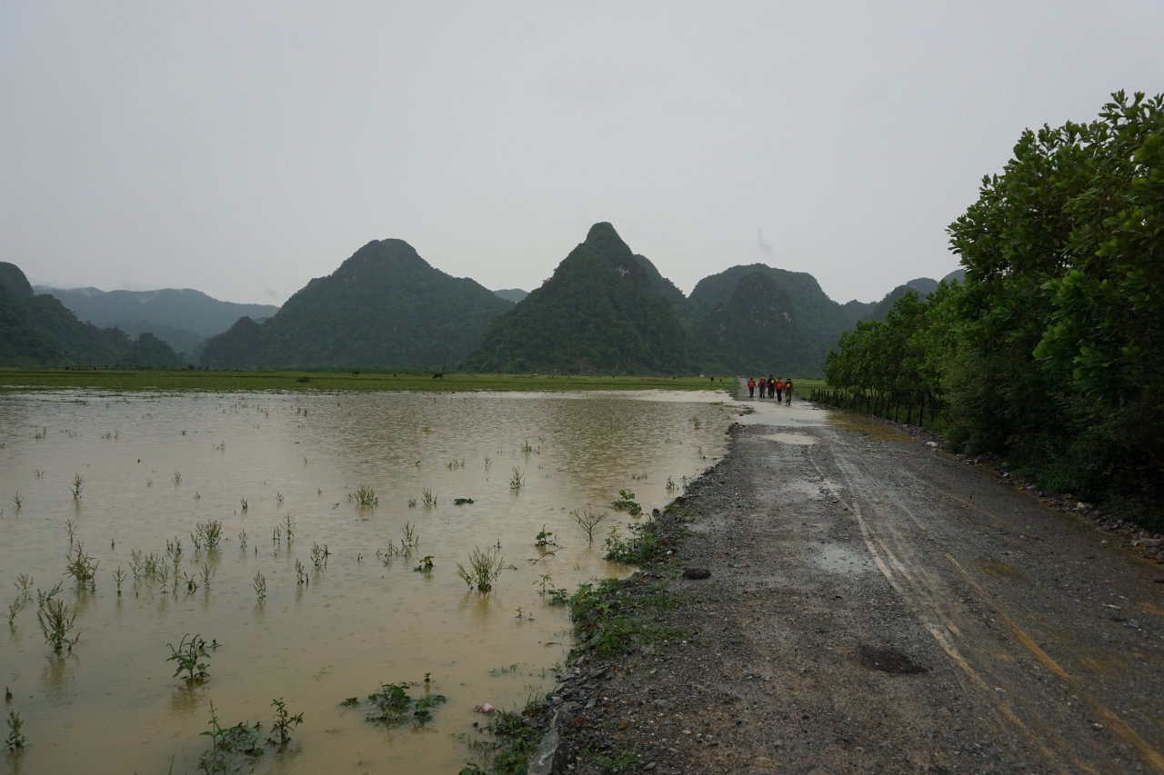
View from the car window on the way up to the start

Short on time, and having read some reviews about the camps, we decided to climb Fan Si Pan in a day. Information about this was hard to find so we ended up carrying far more clothing than was required (more on that later).

Sunrise from the early part of the trail

As far as we could find out (and we believe this to be true as we work in another national park in Vietnam and it certainly is the case there) you can’t climb the mountain without a local guide. This differs to Europe, but then this is Vietnam, so it’s best to respect the laws of the country and support the local economy.

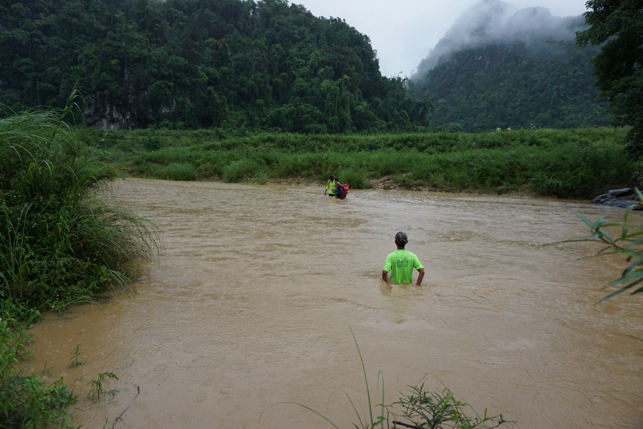
Through woods and streams

Our ascent was towards the end of June (2016) in what has been a cold and rainy year for Vietnam.

Beautiful morning

What clothes to pack was our first dilemma, this is a high mountain by many standards and we really couldn’t get any sensible information (the receptionist at the hotel even suggested gloves and warm hat!), this is a hot place but it does rain, heavily particularly at this time of year.

Camp one, camp two does not look as nice

As we were worried about getting cold and only had cheap Vietnamese poncho style raincoats we packed about three extra layers of clothing. A total waste of time it’s simply too hot most of the year. My advice would be to ask your guide (the day before you go) about the average temperatures at the summit for the month of your visit, for June it’s between ten and fifteen degrees Centigrade but unfortunately we only found this out during our walk.

An early view of the summit

As Europeans we are used to colder temperatures so I would only take a maximum of one extra (thin?) layer plus a lightweight waterproof jacket. Even the waterproof may be a waste of time as the rain is so heavy that you will probably get wet any way, and, if you do put the jacket on, you will probably get to hot and sweaty.

The path now follows the power lines

How much food and drink to take was our next dilemma, reports tend to say the walk takes about ten to twelve hours (and this is probably a good average). We knew we were being provided with lunch but expected no more so we thought we should take something extra as were starting at five a.m. so would miss breakfast.

Still good views but is that cloud I see approaching?

As it turned out, as we left the hotel they handed us a large bag each with bread, jam, two bananas, an apple and (randomly) a tomato plus half a litre of water.  When added to our snacks, the lunch and the half litre of water provided by our guide and the litre of water we packed we thought we would have too much, but again it was too late to do anything about this.

Is this the summit?

As it turned out, we had way too much food but just the right amount of water. So my advice is carry about two to three litres of water each and only take limited snacks or none at all if your hotel provides a packed breakfast.

The trail gets steeper

One important thing is sunscreen, after the first three hours we were in the clouds or under a cloudy sky for most of the day, but despite applying sunscreen before we set off, we both caught the sun a bit. So take some with you and apply regularly.

Into the clouds

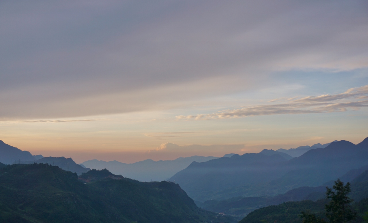
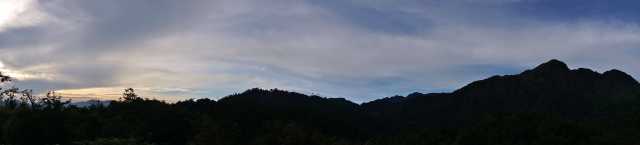
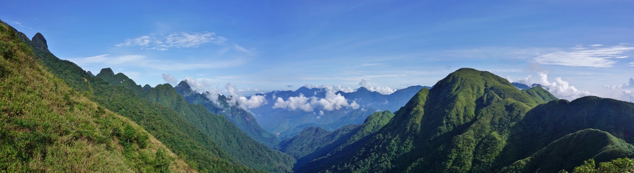
So, enough general information for now, back to describing our day. We got up at 4:30 am and were ready to leave by five, except there was no one about 😢. At about quarter past two people turned up on motorbikes (no helmets) and we were given a lift to the guiding company headquarters where we transferred to a car for a lift up to a high pass where we started the walk. At this time the weather was glorious, we should have been at the top! We started off through woodlands and beside a stream, nearly always climbing, after about an hour and a half we reached the first camp, tin sheds, surely people would only stop here if they were walking up from Sa Pa? Continuing up, the weather was still fine and we were rewarded with some fine views.

View from the summit

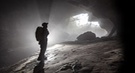
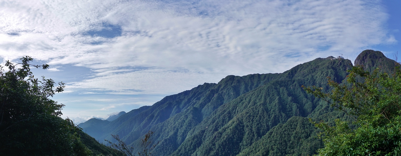
After a while the route follows a ridge up towards an obvious false summit, this is also the route taken by the power lines used to supply the buildings at the top. Partway up this ridge we were engulfed by clouds and after just over three hours of walking we reached camp two, not a pleasant site, tin sheds like camp one, litter scattered all around. The rooms here looked dark, damp and nasty, used sleeping bags were left lying on the ‘beds’, giving the impression that they would not be cleaned before being used again. (There was no one around so it’s not possible to say whether they were used again or not.)

View from the summit

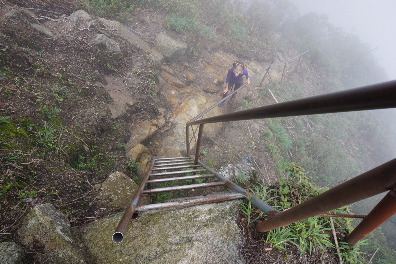
Our guide wanted to stay here for twenty minutes but we insisted on pushing on after five, twenty minutes later we started descending (this is before the actual false summit), losing about 100m of height before the final climb up. From here on things deteriorated (in our opinion), general building waste was strewn about the hillside and where the path had been diverted, the new path was so poorly constructed, particularly through a boggy section, that I can’t see it lasting.

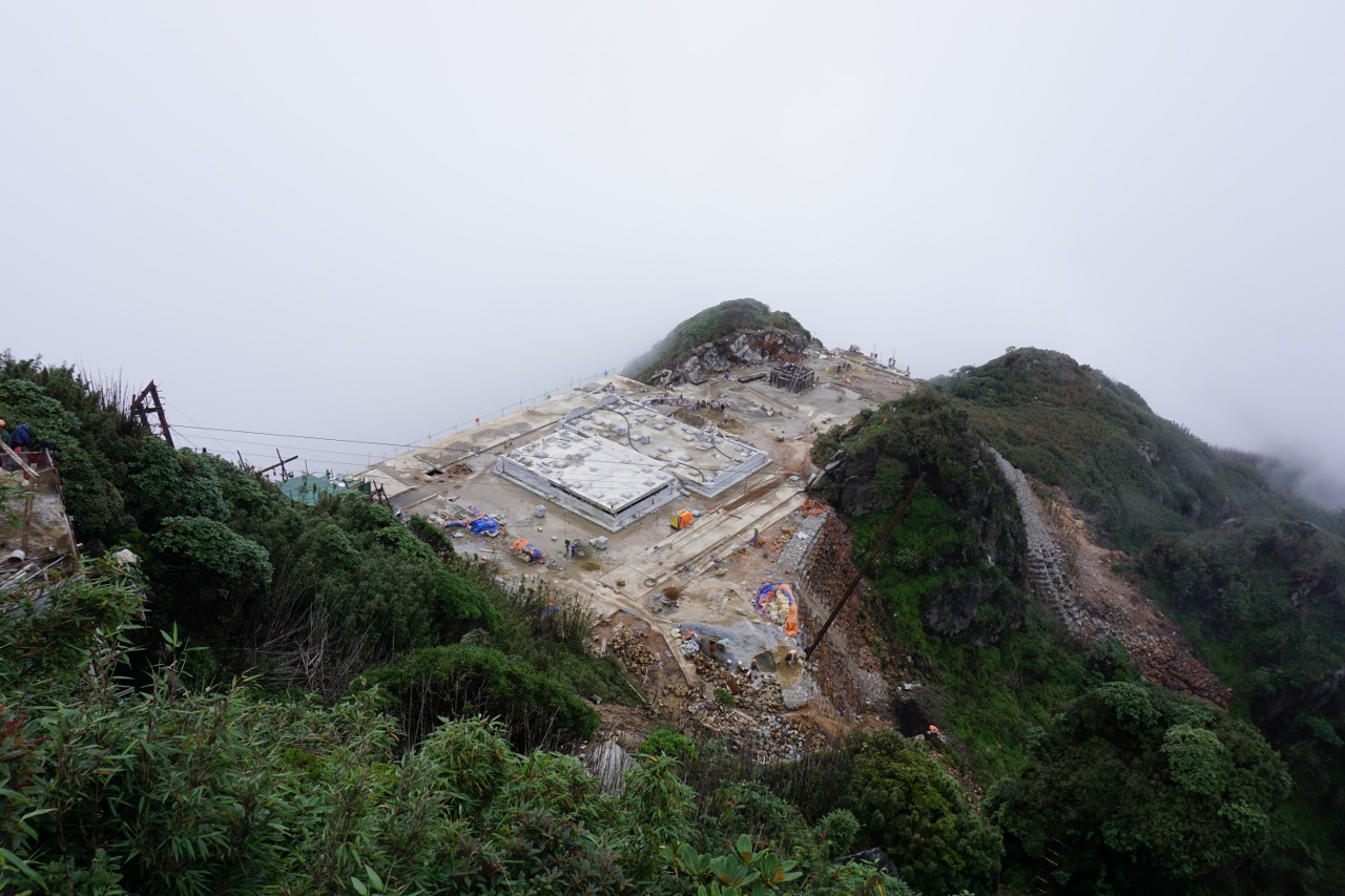
View of the summit! Oh deary deary me!

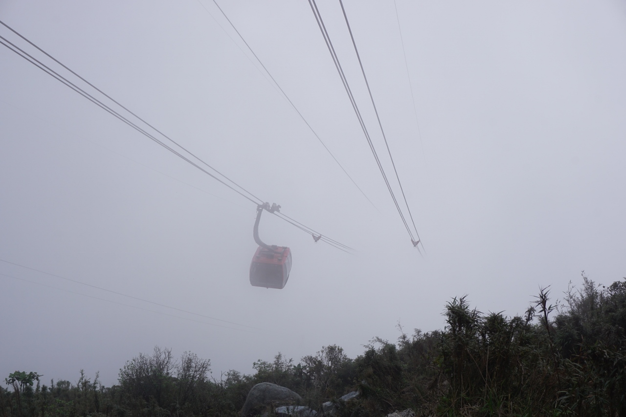
Eventually we reached the stone stairway that has been constructed to allow the cable car users to get to the summit and reached the top after four hours twenty minutes. What can I say about the top? Well, look at the pictures and make your own mind up, but to me it was horrible and certainly distracted from what had been a pleasant walk for most of the way. I’m sure the thousands of people who enjoy the cable car each day might disagree. The walk back down follows the same route and took us another four and a half hours, but we weren’t rushing as we had plenty of time and had lunch about an hour below camp two.
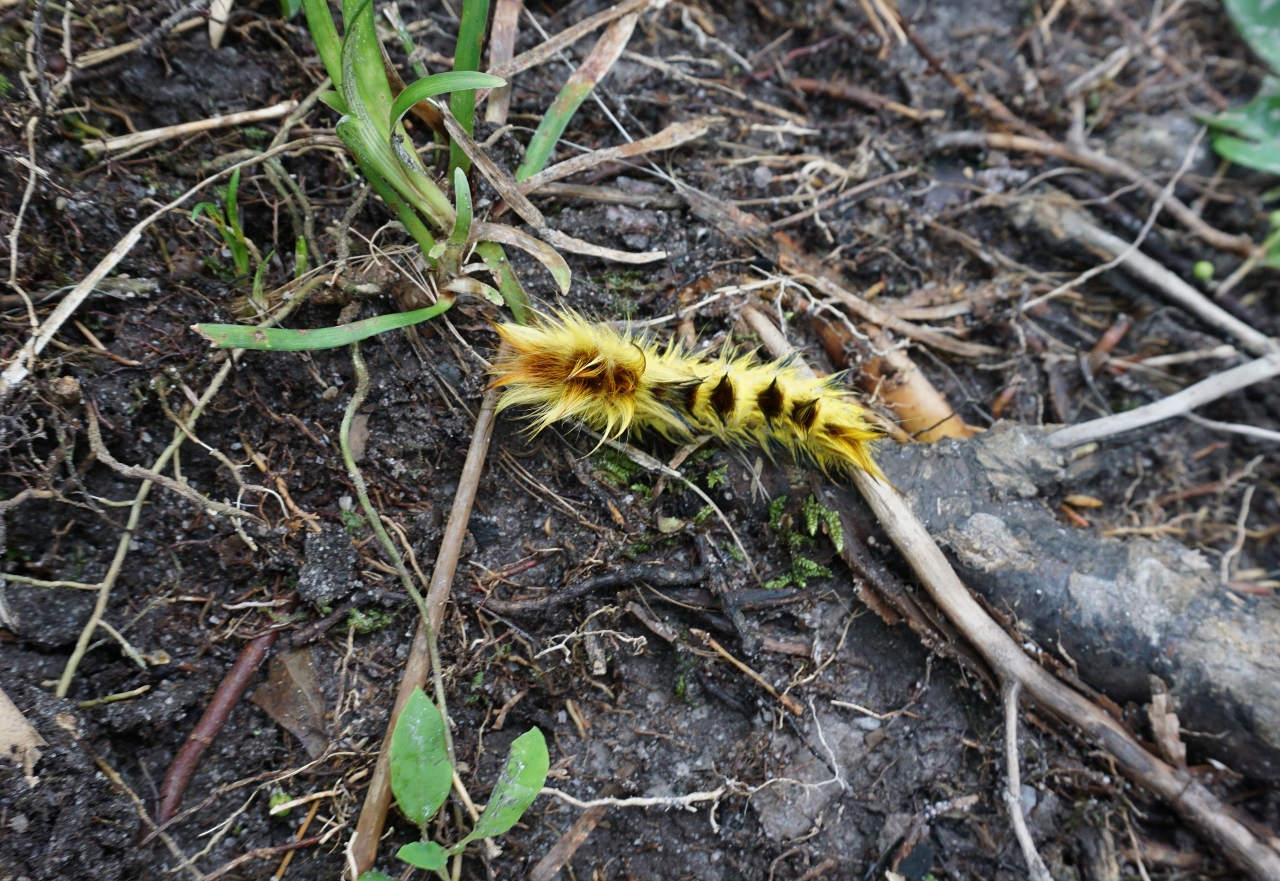
Hairy caterpillar

In conclusion, it is possible to climb Fansipan in a day, but why would you want to? If you do you are going to hit the crowds plus the best weather is often early in the morning so when you reach the top there will be no view, just masses of people (I’ve read that the cable car can transport up to 2000 people an hour to the summit!) Better to take two days over the climb (as long as you can face a night at camp two), stay at camp two and get up early so as to reach the summit before the cable car clients arrive, and while there is a good chance of clear views.

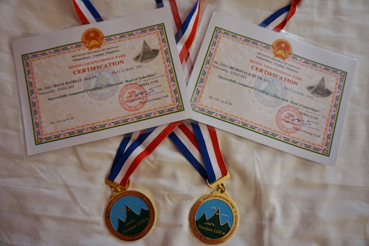
Congratulations, Vietnamese style!

Tu Lan 17

Tu Lan 17

View from the entrance to Rat CaveAnother day, another tour. This time Tu Lan Four Day Expedition.Rat CaveNo floods. No cuts. No dramas.Frog or Toad with ‘Go Faster’ stripeSix clients, all fit and quick, good fun.Bat Cave, is this Batman?This is the fi…

SD 27

SD 27

Hang En small entrance, well, the small bit of the small entrance to be preciseA standard tour, nothing exceptional happened so few words for this entry, but here are a few pictures from the tour.Hang En OxbowThe picture above shows the Hang En Oxbow p…

Flood!

Flood!
A wet start to the day

What a difference a day makes! A lovely day yesterday on the walk out from Hang En, but an overnight thunderstorm of almost Biblical proportions has changed things somewhat. Many of the roads on the way over to Tu Lan were very wet,  and the road through the village of Trooc was under thirty centimetres of water. The streams were orange with mud and in full spate.

Have we got to cross that raging monster?

The situation was no different at Tan Hoa but the guides and office staff assured me that the rivers would be ok to cross, one tour had already left so I assumed that if things were bad we would see them before we got to the first river crossing.

First river, deep and nasty, should have got the safety line out – or even a boat!

We managed to cross the first river, three at a time holding hands, but it was nearly chest deep with a very strong current, Personally I thought it was a little risky and we would have to take more precautions for our next crossings.

A stormy La Ken valley

After lunch in Rat Cave, the weather had improved, but it was going to be some time before the water levels dropped. We made our way to the crossing which would enable us to get to Gibbon Cave (and beyond). Vū (the guide) had one attempt at crossing before I pulled ‘the plug’ and decided that it was not going to be safe. We moved on to where the porters cross, but that to was far too dangerous so we moved on to a final location, after that I wasn’t sure what we could do.

River deep, mountain high

The final crossing location was still not possible with the equipment we had, but we were able to make a call to the office for life jackets and a floating rope. As the water was deep and not so fast here, with fewer dangerous obstructions in the water, we figured we would be able to cross once we had the safety equipment.

Second river crossing.

While we were waiting for the life jackets, some porters came back and crossed exactly where we were. Coming towards us it was a wade, followed by three metres of swimming across the current to a tree, once at the tree they walked on submerged branches to our side, we had a route across!

Third river crossing

Having crossed into the La Ken valley proper, we only had one more river to cross before our camp in Hung Dung for the night, and with the equipment that we now had I was confident we could make it although we no longer had time to visit Gibbon Cave.

This is normally the swimming pool at the Hung Dung campsite

Once at camp, I immediately spilled a cup of coffee over myself, this was not going well. By the next morning the water level had dropped by over a metre, although it was still high I thought that there was a good chance that we could get through Bat Cave.

Bat Cave, way too wet for safety

How wrong I was, the water was still way too high so we had to retrace our steps, back to the Hung Dung camp for a swim before continuing on to the La Ken campsite.

A much improved Hung Dung Swimming pool, still wet though

With the water levels dropping, everyone was more relaxed and happier, knowing that we should at least be able to complete our itinerary for the next two days.

Monster card game?

The walk over to the Tu Lan valley was uneventful and we arrived in time for a swim before lunch. The water levels were high but manageable.

Butterflies in the sun

After lunch it was Tu Lan cave, no problem for us but the porters had fun getting the boats into Tu Lan. Crossing the bridge between the two camps is easy, but in high water there is not much room to get a boat beneath it!

Boat limbo dancing

At the entrance to Tu Lan we saw a baby bird that had obviously jumped out of its nest just a little bit too soon. Hopefully it will survive.

Bird is the word

After Tu Lan, we went to Hang Ken before dinner, there was some more rain overnight but this had no effect on the water levels. On the downside, I seemed to have developed my first case of foot rot, hopefully I can get rid of it before my next tour in three days time.

A nice night for an evening

By the final morning, my foot rot was no worse, which was a good sign, so we set off to swim through Hang Kim and Hang Hung Ton.

Hang Kim, before the swim

Thankfully the swimming was uneventful, leaving just Secret Cave to go. I saw the little chap below right beside the entrance, not the neatest spiral in the world, but not a bad effort.

Spider spiral

The picture below shows the river outside the Tan Hoa office before and after our tour. Next up for me is Hang Son Doong, passing Ruth on the hill. but before that there is the small matter of two weddings.

Same spot, before and after the tour

b

SD 24

SD 24

Jumping for fruitSo, another week, and another Hang Son Doong tour, this time with Watto. As well as the normal quota of porters, there were others in the cave who were doing a bit of tidying up and fixing, more on that later.Do you expect me to go the…

Tu Lan 13

Tu Lan 13

You’re sinking, bail faster!Ruth joined me for this tour, so she was in charge of most of the pictures, here are the results.Small birds nest along the way The first day is a lovely walk, visiting two caves, we see lots of nature along the way.Clo…

SD 19

SD 19

Curly CaterpillarAnother Hang Son Doong Tour, not much to say so we’ll just post a few pictures that are probably different to ones posted earlier.Camp One, Hang Son DoongPlant on a treeTarantula!Doline Two from Camp Two at nightHang En ExitNot the Wor…

Vietnam Caves, Hang Dong Cây Sanh, our final Expedition outing

Vietnam Caves, Hang Dong Cây Sanh, our final Expedition outing
Riverside Campsite

Ruth, Watto and I just had time for a quick two day outing before another Son Doong tour. A short drive and forty minute walk got us to our campsite by a dry riverbed.

Hang Dong cây Sanh entrance

From the campsite it was a thirty minute walk uphill to a cliff and an entrance to a cave by a large “Strangler vine” tree, hence the cave name, Cây Sanh being the local name for this type of tree. It use another tree for support, then slowly strangles the support tree as it grows, eventually the supporting tree dies but by then the tree can support itself.

Oh Dear, this Deer seems to have got stuck in the mud

The entrance was a steep slope down to a large area with big formations, at the bottom of the slope was a muddy floor with many deer prints and a pit containing bones which we were told were Deer.

The Skewer

The cave was full of formations, including one lone stalagmite, tall and thin, which we called “The Skewer”.

The Skewer

After a while we reached a big chamber with many loose blocks and a choice of ways on, we chose left and down, past a pit estimated at 20m deep.

Oh Deer Chamber, you can just make out the daylight, up and left of the people

This gradually decreased in size before ending at calcite chokes. Time was running out for the day so we had a quick look at the way to the right. This appeared to continue down a short pitch or climb so we had to schedule a return the following day, instead of visiting another cave as initially planned.

Final Rift

The next day we returned to the right hand section, one route ended at a large chamber while down a roped climb ended at a high rift where the draft seemed to go. This was as far as we could get. We also descended the 20m pit which turned out to be 30m deep and ended at a too tight slot which drafted out.

Nice formations

That was it for new cave, apart from a side passage near the entrance so we did some photography on the way out before exploring the side passage.

Big Passage

This had a number of bat skeletons so we called the passage The Bat Graveyard, this ended after about 150m, very pretty but unfortunately that was really it.

Pretty side passage near the entrance

All in all, about 900m of new cave, most of it very pretty.

Strangler tree, or Cây Sanh, at the entrance

b

Moving house the easy way

Moving house the easy way
The new house, smart eh?

What can I say, I’ve just come out from a Hang Son Doong Tour, and we’ve moved house. How easy was that (for me).

Entrance area

The house is a lot nicer than our old one, but as expected we do have a few teething problems.

The bedroom, lighter than before

They forgot to put a tap on the kitchen sink!

Upstairs lounge, a little bare

No internet yet, washing machine not plumbed in, no beds and no furniture.

Might start a bicycle taxi service

Easily fixed, go to market and buy some cheap plastic chairs (red of course) £2.50 each, if a little flimsy, must sit gently.

Your chariot awaits

Quickly and easily installed our new furniture so we were ready for a test drive.

Tea on the front terrace

Chairs only just take my weight so had to wrap Gaffa tape around the legs to stop them splaying when warm.

View out back, it’s ok