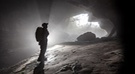
In September, Andrew Atkinson’s article on Cave Surveying – the next steps proved to be of huge interest to readers. An open invitation was extended to cavers with an interest in surveying or geographic information systems (GIS) to attend a workshop at Hidden Earth 2017.
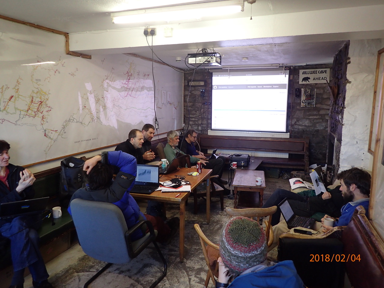
This was very well-attended and served as an excellent demonstration and discussion platform, allowing several cavers to present their own survey and GIS work. This triggered several discussions around the future of cave surveying, and a follow-up meeting of the Cave Surveying Group (CSG) was arranged at the South Wales Caving Club (SWCC) on the weekend of 2nd February.
The CSG meeting attracted a range of cavers with diverse backgrounds in surveying, programming and GIS. The first day encompassed presentations and demonstrations from a number of the attendees. Thomas Starnes presented a suite of GIS applications and 3D visualisations, as well as examples of drone-based photogrammetry. Patrick Warren demonstrated his ‘Import .3d’ plugin for QGIS, which imports survey stations, centrelines, and splays from a .3d file. John Cooper presented his caves of the Gower Peninsula project, which incorporated several components including LiDAR digital elevation data, bathymetry, geology and ground-based photography. Andrew Farrant demonstrated the possibilities of lining up data to reveal relationships between superficial geology, bedrock geology and fault lines in relation to known and potential cave systems. Finally Duncan Hornby demonstrated how existing paper based cave surveys could be imported into a GIS using georeferencing techniques.
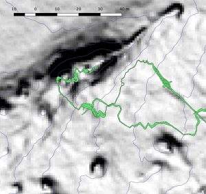
The second day was spent conducting a ‘business analysis’ of cave surveying, or, in other words, creating a cave surveying wish list. This list details everything that’s needed in terms of an integrated cave survey GIS, such as the ability to overlay a cave survey on a basemap or aerial image, or have a handheld map with entrance locations, which can be edited and added to while you’re out in the field (or, more likely, in the hill). At first sight GIS can be a daunting field, but this didn’t stop George Breley, with no GIS experience, who quietly sat there and in short order had downloaded the Environment Agencies LiDAR elevation map, converted it to contours and had the plan of Hammer Pot overlaid on top of it Something that would have taken ages using traditional cave surveying software. This wish list is being translated into an online GitHub project, which serves as a tool to manage the various components of the project, and provides a space where developers, testers and users are able to make suggestions and propose changes.
The initial starting point for the project is to make everything work in a free program, however there will be lots of information and help guides that will work for proprietary software as well. With this in mind we hope to start with QGIS. The really exciting thing about this is that the soon-to-be released QGIS 3.0 will support 3D natively, which means it could give a view like Aven and Loch but on steroids, and hopefully data will be able to be directly input into the system. Examples of the promised land are readily available with a quick search and most importantly lots of people are pushing and supporting even more new features that will be useful for cavers. If you are interested, whether just to observe or to get stuck in and help, please request access to the GitHub project. Although this is primarily a code store site, please do not be put off if you are not a coder, to integrate GIS so much more is needed. Having users of GIS will be critical as there is so much that is possible: data sets that can be imported and used, all this needs testing, and then the coders can try to automate it. QGIS has the potential to be a one stop shop for cave surveying with datasets like topography and geology being automatically imported into the software, rather than us all sitting in our isolated groups repeating the same tedious tasks.
The integration of cave surveying with GIS is a revolutionary next step that will bring cave surveys into context with everything else around them. In the blink of an eye we will be able to place cave surveys in the context of a multitude of other spatial information from bedrock geology to surface hydrology, elevation and species observations. We’re beginning to see the biggest step that cave surveying has taken since going paperless and you can be part of the transition.
The Cave Survey Group is part of the British Cave Research Association (BCRA), which kindly supports the work of the group and subsidises these events. Thanks to SWCC and especially to Allen Richardson for facilitating this meeting.
Correspondents: Andrew Atkinson and Thom Starnes